Lakes, Streams and Wetlands
Waters of the Oneida Reservation
| Waters of the Reservation | Miles or Acres |
| Total miles of rivers and streams | 295 |
| Acres of lakes/ponds | 248.75 |
| Total acres of wetlands | 7,976 |
Click here to view a Map of Oneida Reservation Watersheds and Streams
We work with local, state and federal partners to protect and improve surface waters of the Reservation to:
- Manage storm water runoff;
- Enhance and restore lakes, streams and wetlands.
For more information about the surface waters of the Reservation, please call:
- Jim Snitgen Environmental Quality Manager at (920) 869-4589 or email jsnitgen@oneidanation.org
- Water Resources Specialist Alaina Noll at 920-869-4566 anoll@oneidanation.org
- Tony Kuchma Wetland Project Manager at 920-869-4592 or email akuchma@oneidanation.org
WETLANDS
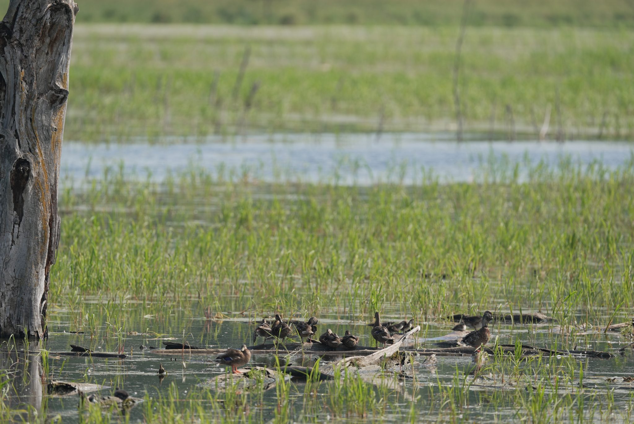
Where the Water Birds Nest
There are approximately 7,976 acres of wetlands on the Oneida Reservation. They are important features that benefit people, fish and wildlife that includes:
- Protect and improve water quality
- Provides fish and wildlife habitat
- Storing floodwaters
- Maintaining surface water flow during dry periods
If you think you may have a wetland on your property, contact Tony Kuchma, Wetlands Project Manager at 869-4592 or email at akuchma@oneidanation.org for a wetland determination.
LAKES
Fish stocked at Oneida Lakes (available for Tribal Members):
- Rainbow Trout (Only at Osnuhsa Lake)
- Extended Growth and/or Fingerling Walleye (All Lakes)
- Fathead Minnows (All Lakes)
- Black Crappie (Oneida Lake and Osnuhsa Lake)
Other Fish Stocked within the Oneida Reservation:
- Brook Trout Fingerlings
Partners in Fish Stocking:
- St. Croix Chippewa Indians of Wisconsin
- Genoa National Fish Hatchery
- U.S. Fish and Wildlife Service
- Wisconsin DNR
- Menominee Indian Tribe of Wisconsin
For any questions please contact Environmental Quality Manager Jim Snitgen at 920-869-4589 jsnitgen@oneidanation.org Or Water Resources Specialist Alaina Noll, she can be reached at 920-869-4566 or anoll@oneidanation.org